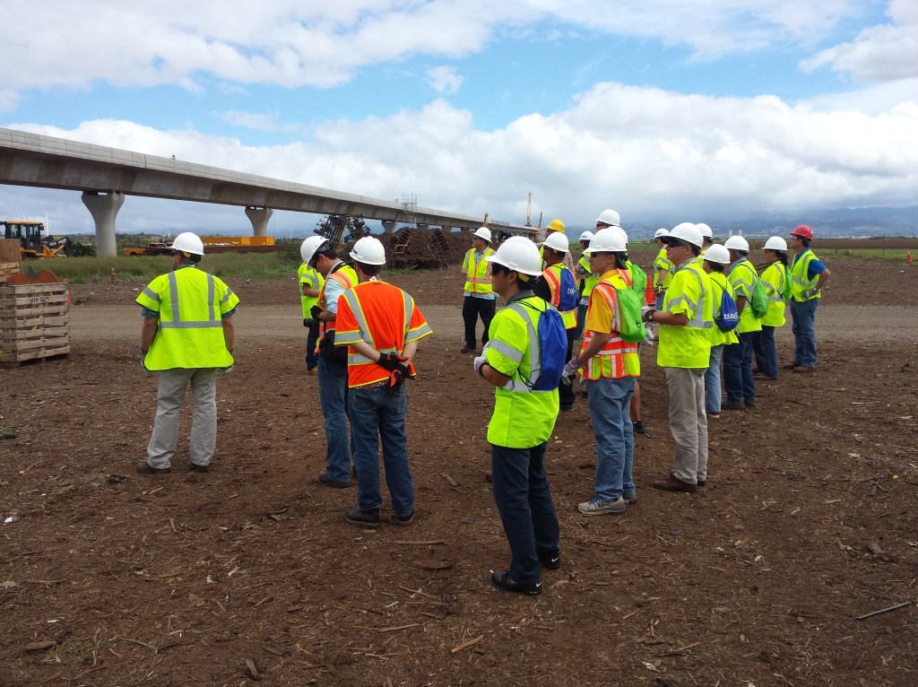
I was able to take a guided tour of the progress of Honolulu’s rail project with a few elected officials and government staff. I attended on behalf of the Ala Moana-Kaka‘ako Neighborhood Board – the neighborhood where rail is set to terminate when it completes in 2019. The other end, in Kapolei, significant progress has already been made. Our trip started west of the furthest station and followed the entire path of the rail to downtown Honolulu.
Casting Yard
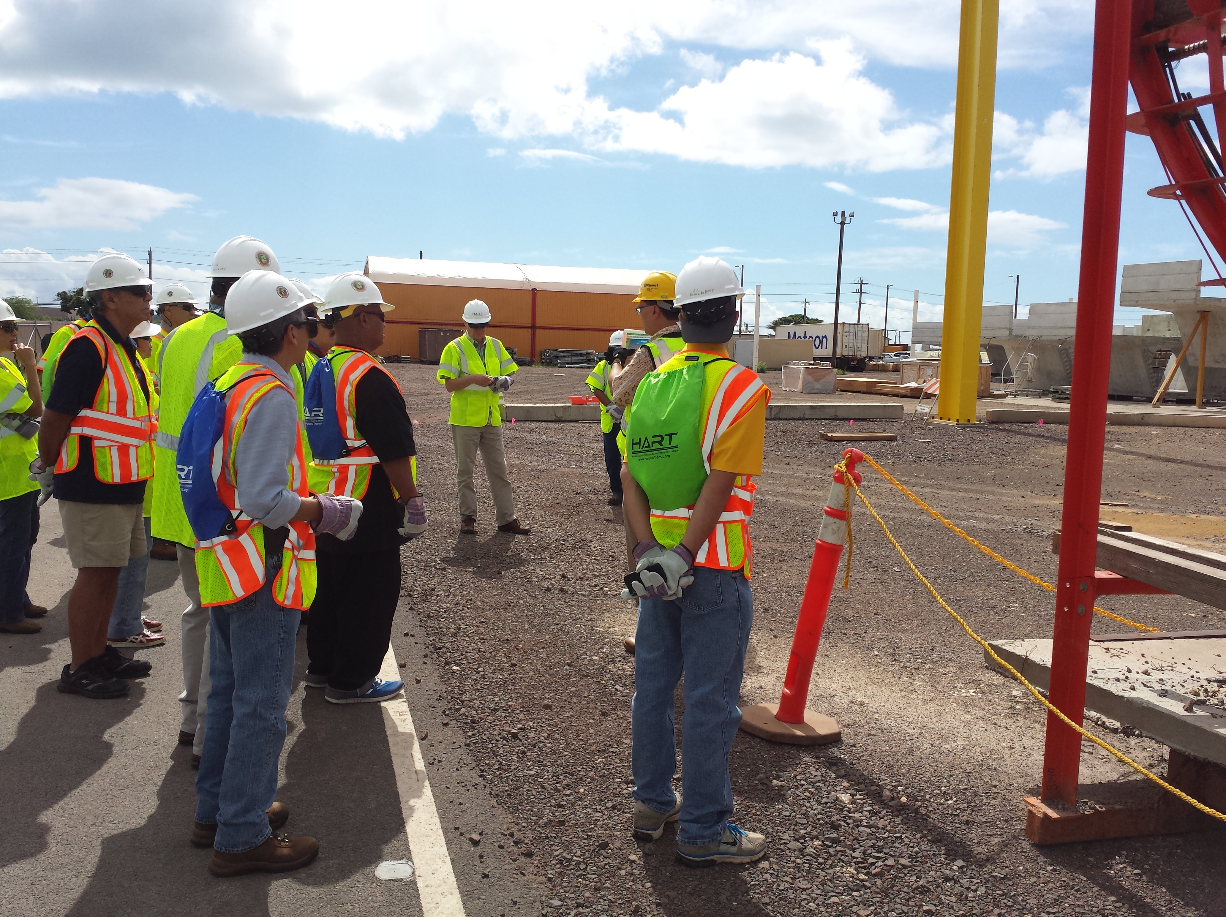
Just west of Kapolei is the casting yard for the rail segments. It’s 34 acres with about 140 workers daily. Each cement segment is unique for its exact location along the rail.
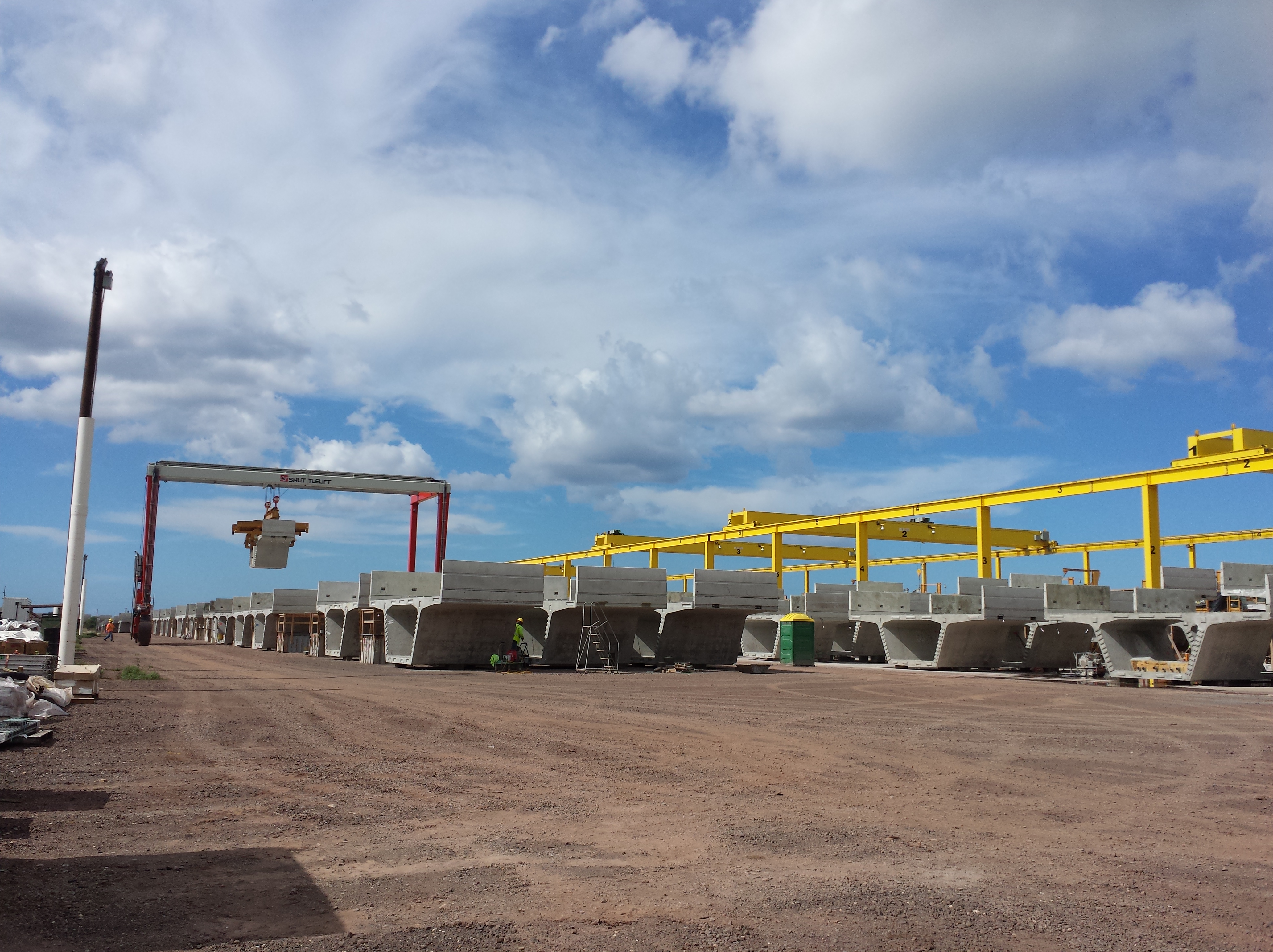
About 5,200 segments are needed for ten miles of rail, so over 10,000 will be created by the end of the project. Concrete is mixed on-site so they can have high control of the materials throughout the process.

Each segment is weighs about 50 tons, and about a dozen are produced a day.

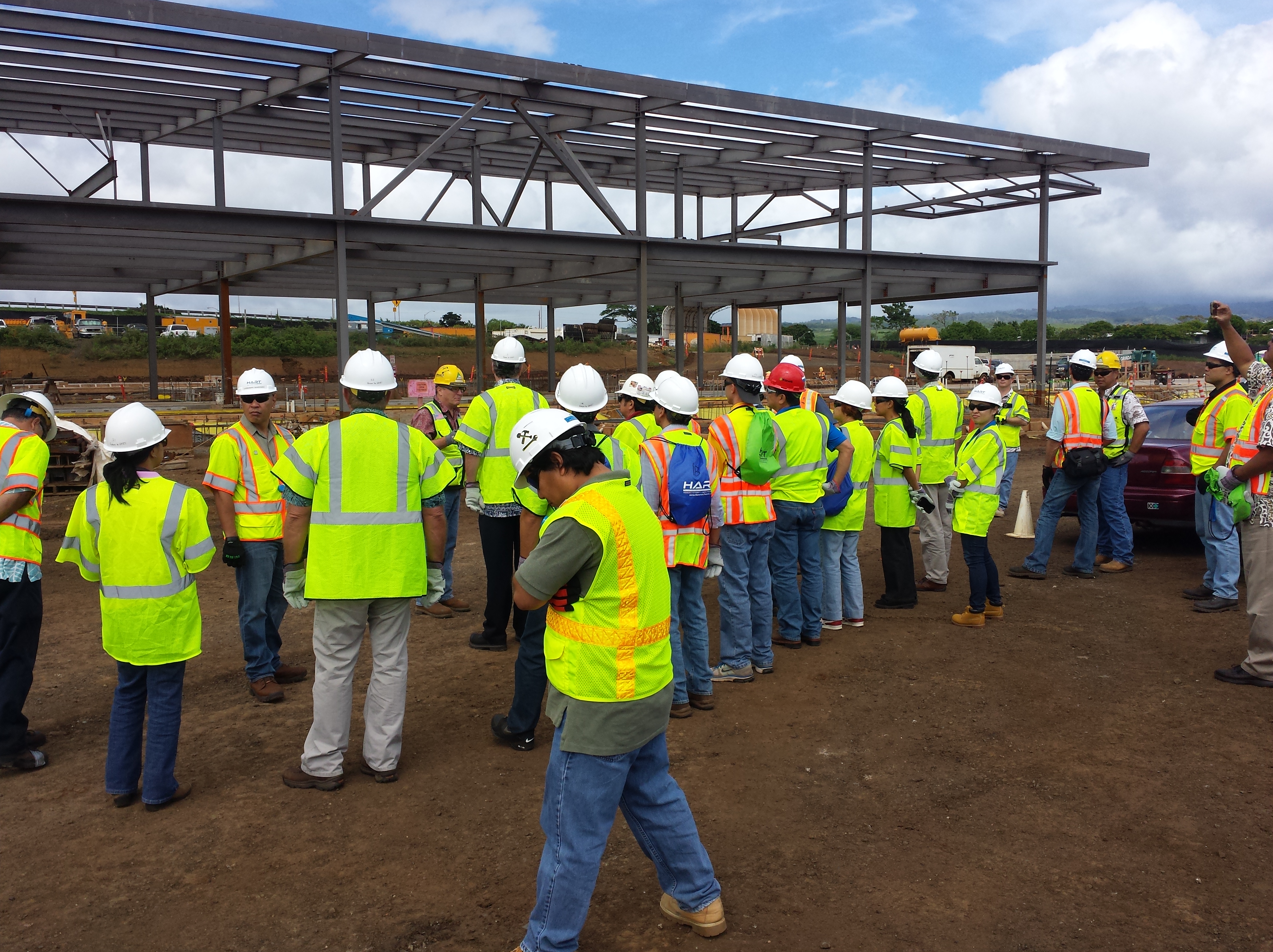
East Kapolei, UH West O‘ahu and Ho‘opili
Our trip continued to where the first three stations will be: East Kapolei, UH West O‘ahu, and Ho‘opili.

There are currently no stations completed, but many of the pillars around the stations are visible.
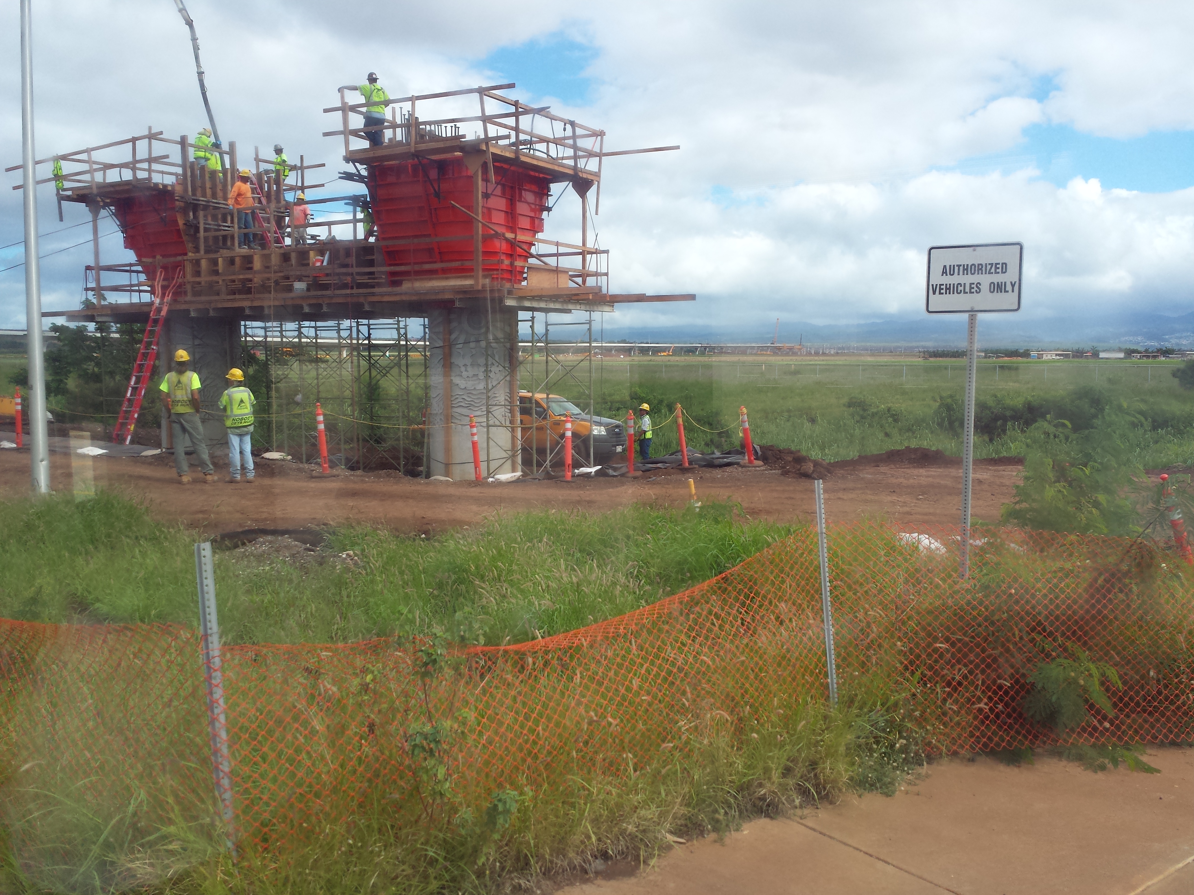
The stretch between UH West O‘ahu and Ho‘opili deceptively appears complete from ground level.
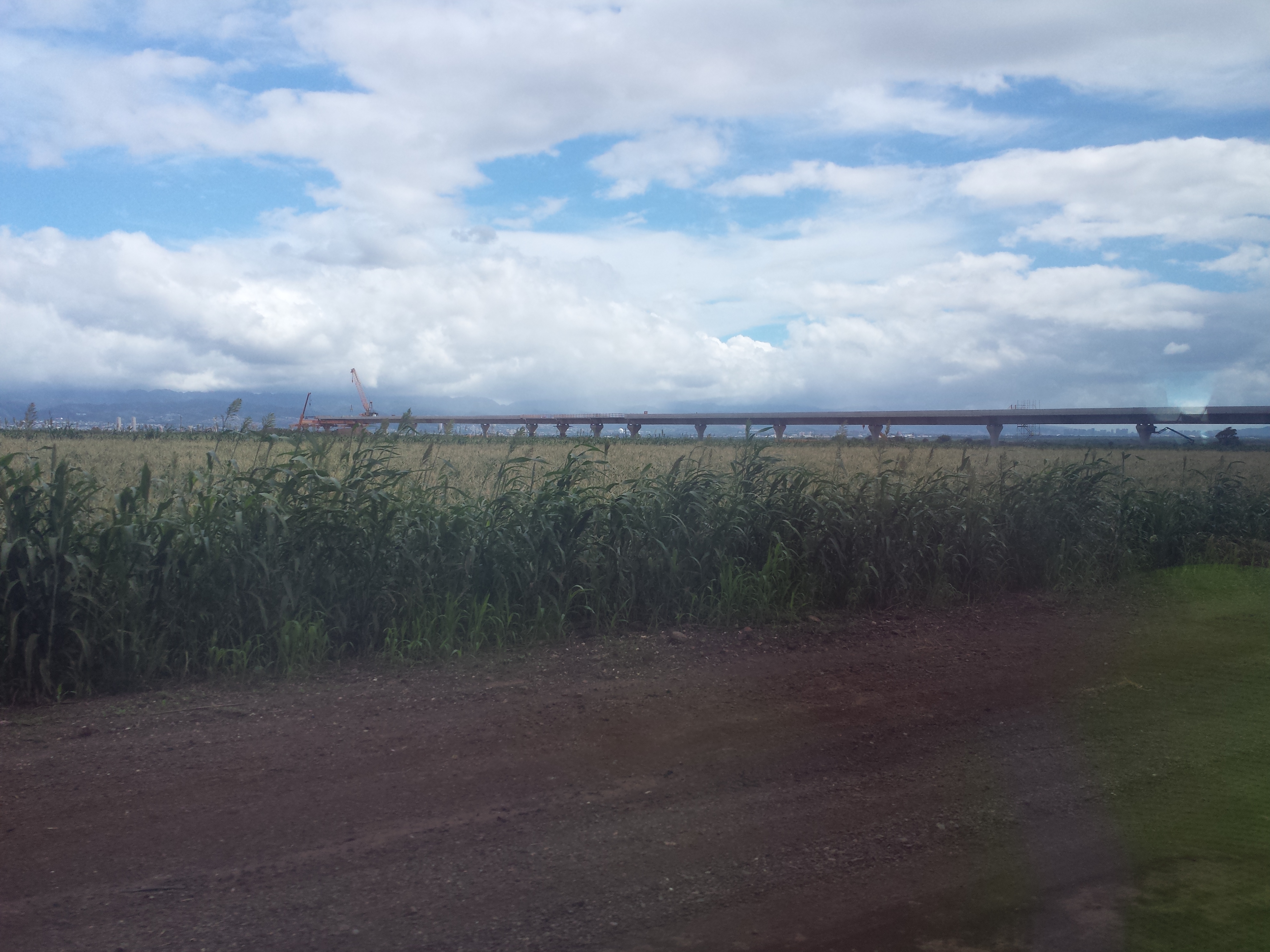
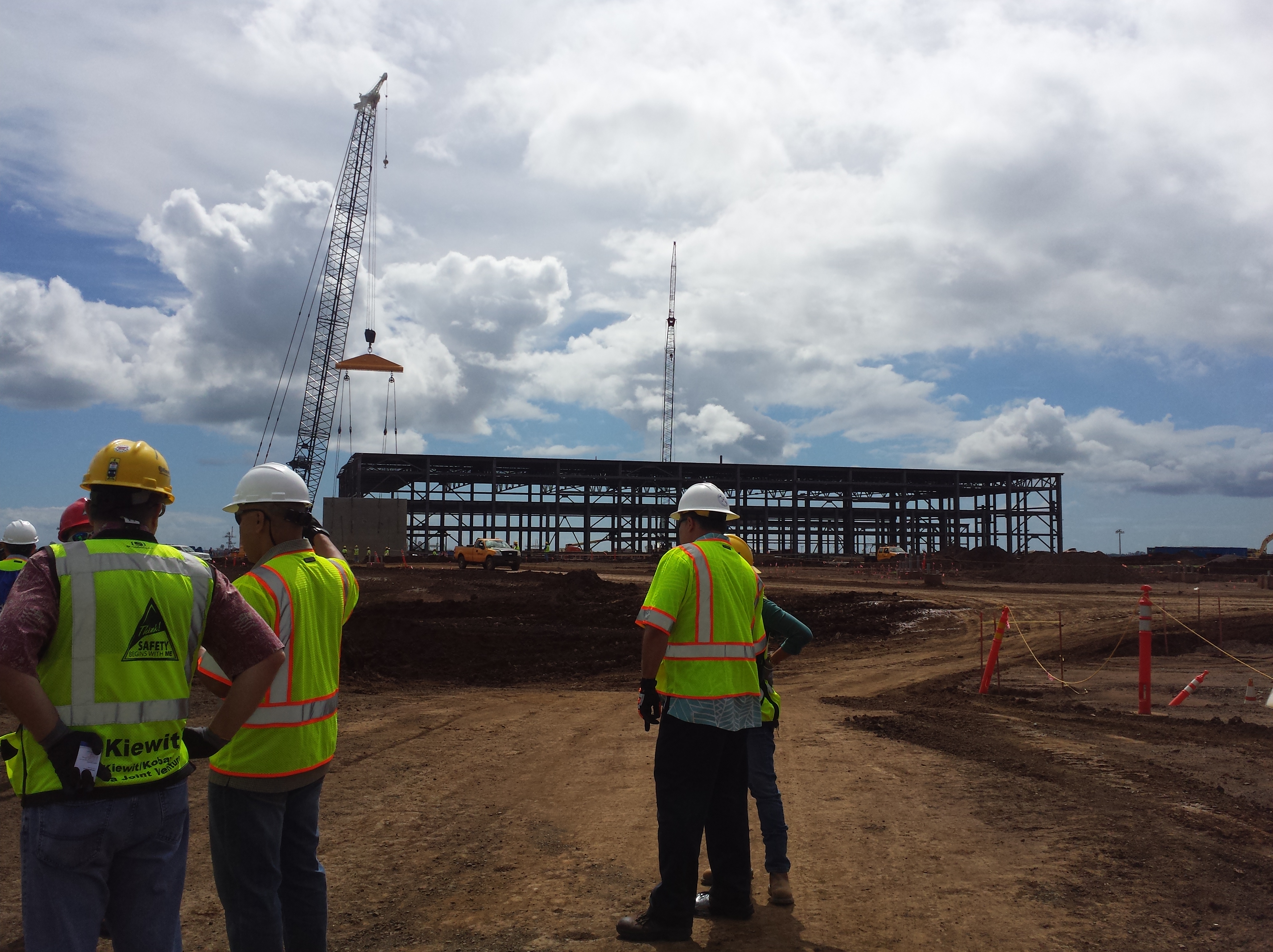
We stopped near Aloun Farms, where they were currently best known for their pumpkin patch, to survey the progress.
Last week I was a couple miles away in ‘Ewa and took a 42 bus to Ala Moana – a trip that took just under two hours. From the East Kapolei to Ala Moana Center on the rail will take 42 minutes.

In the distance is the location of Ho‘opili station, where development is being planned around rail.

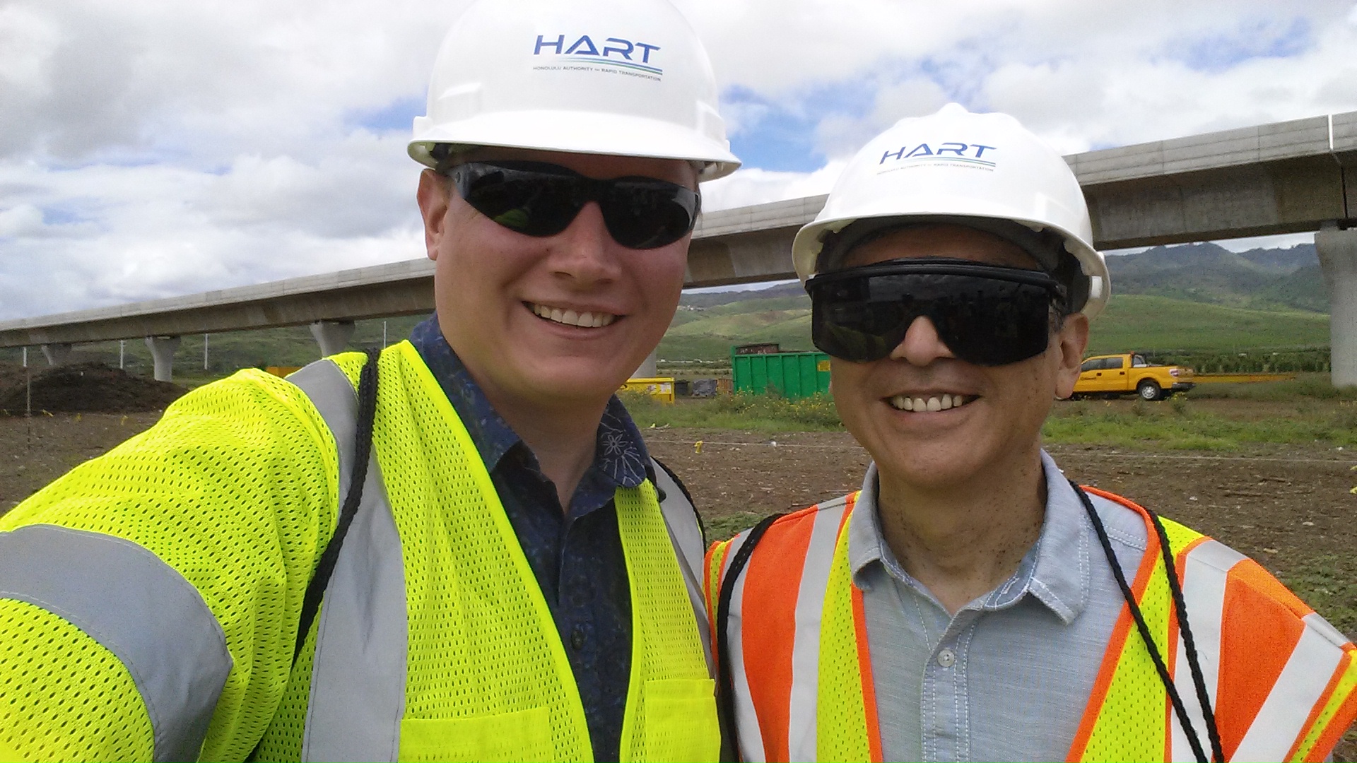
Outgoing City Councilmember and incoming State Senator Breene Harimoto took time for a selfie.
Rail Operations Center
Between Leeward Community College and Waipahu High School is a center being developed for maintenance, operations and washing of trains.
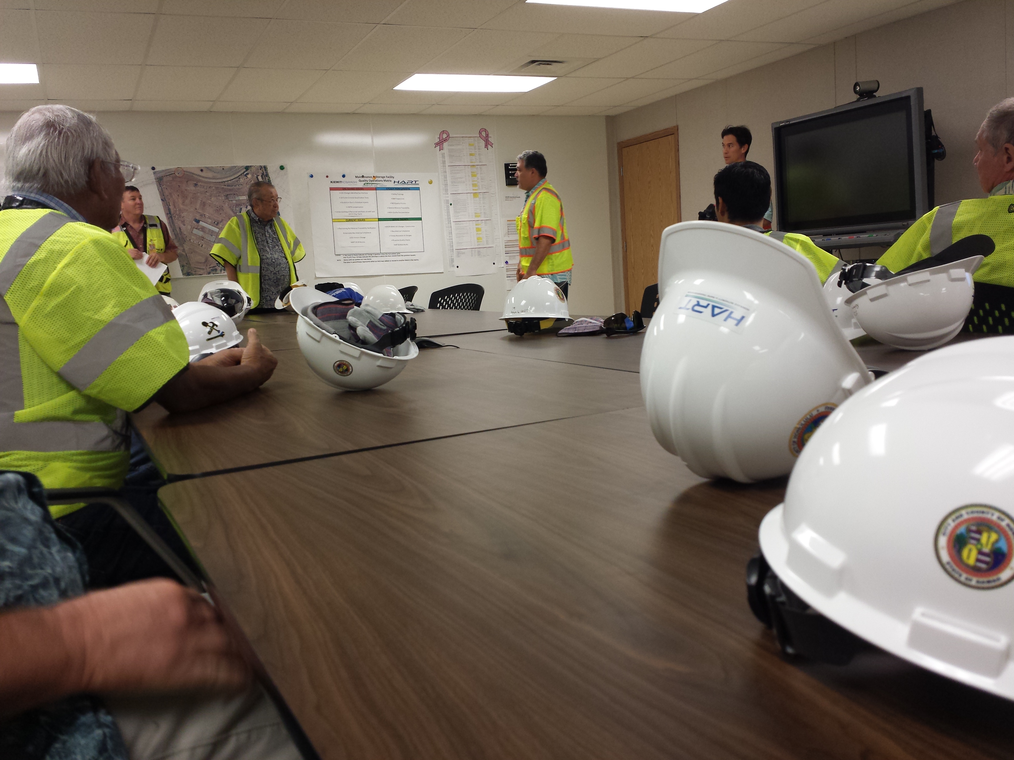
Affectionately known as “The ROC,” this will be the location where all trains will be controlled from as the system is completely driverless. It’s also where all the trains will be stored between midnight and 4 a.m. when they are not in operation.
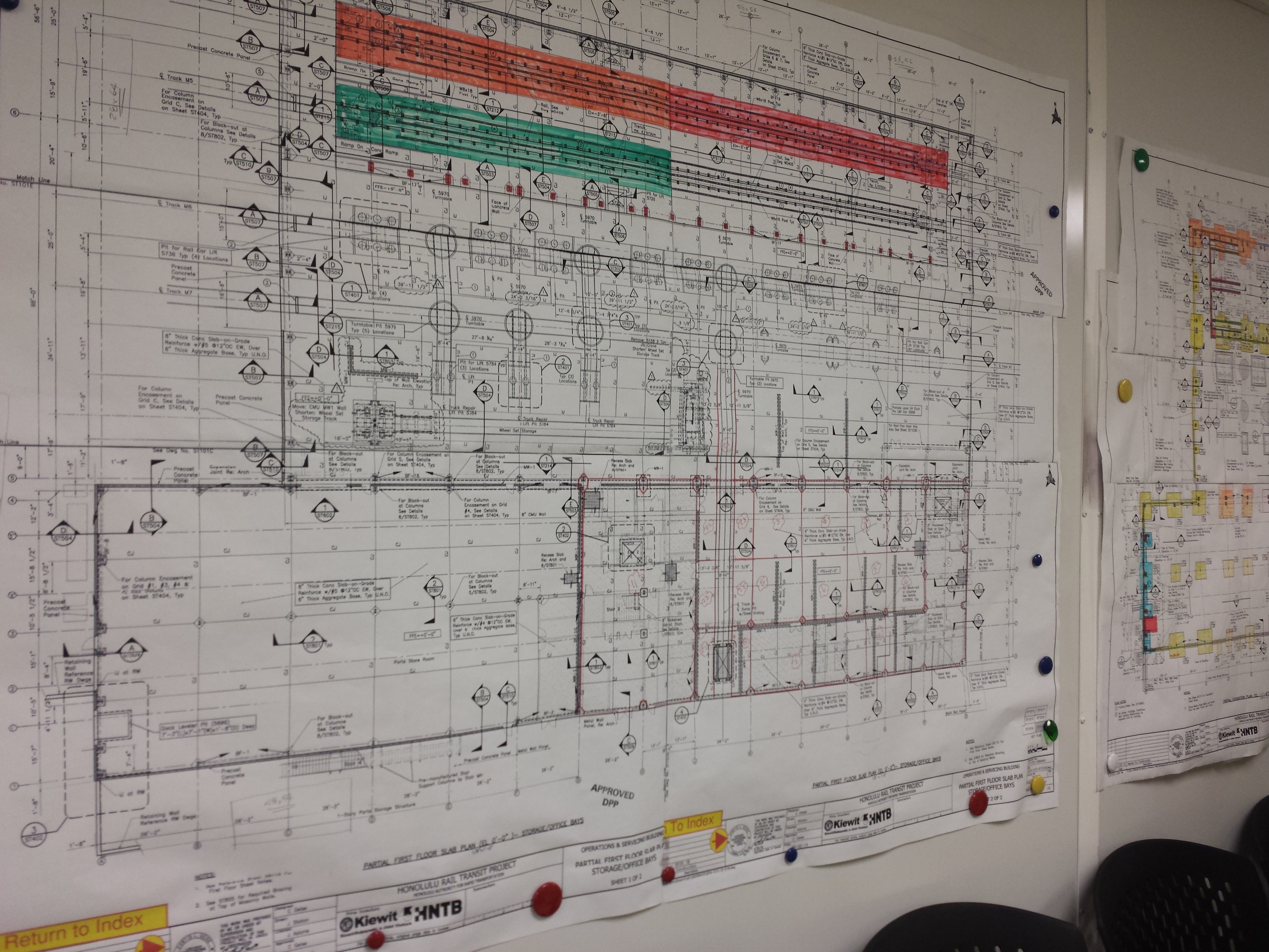
The ROC will have four main buildings: an operations and servicing building, a maintenance of way building, a train wash facility, and a wheel truing building.
The facility is aiming for LEED Silver Certification in part by using natural lighting, natural ventilation, solar power, and by recycling construction materials.
This center is scheduled to be operating early 2016 and will begin testing trains on completed sections of the rail.

The Future
The rail will continue to Pearlridge, Aloha Stadium, Pearl Harbor, Honolulu International Airport, and ten further stops through Kalihi, Chinatown, Downtown and Kaka‘ako to Ala Moana Center. Scheduled to be completed early 2019. More information at honolulutransit.org.

4 responses to “Honolulu Authority for Rapid Transit Alignment Tour – October 2014”
Aaron, TheRail is nothing more than a boondoggle! Don’t be fooled!!
LikeLike
Thad Spreg- Your neighborhood is one that will be most positively impacted by this project. It’s a few years from now, but I hope you take the opportunity to ride it when it launches.
LikeLike
No, Aaron, you are absolutely incorrect. We will be the most **negatively** impacted. Once TheRail is built, the area around it, you know, all that farmland you stood in the middle of, will be developed. That will bring thousands of new residents – and their cars – to our area. Check the numbers. Even if every new resident who could rode TheRail, there will still be thousands of additional cars coming onto our roads. Traffic on H-1 will be 20% worse **with TheRail** than it is now. These are not my numbers. The numbers come straight from the City’s EIS for TheRail. https://www.facebook.com/notes/thad/even-with-therail-future-traffic-congestion-would-be-worse-not-better/412245485479746
LikeLike
Thad Spreg: Kapolei, by design, has been planned the “second city” a very long time ago. Can you imagine what car traffic will be like in 2020 without the rail? Rail isn’t driving population growth, rail is part of a smart growth plan to maintain a range of affordable housing and to keep the country country, and to control growth along the rail line.
If we do no development, home prices, rental costs and traffic will skyrocket and local residents will be pushed out. If we develop without a plan, it’ll be more attractive and cheaper to develop large swaths of rural lands. With rail, it’s planned, controlled, and has a range of affordability and housing types… while keeping more rural lands rural. I urge you to check out the documentary that goes through the process of how the Sierra Club came to support the rail project – it takes into account all sides: http://www.hawaiinewsnow.com/category/283442/railroading-paradise
LikeLike